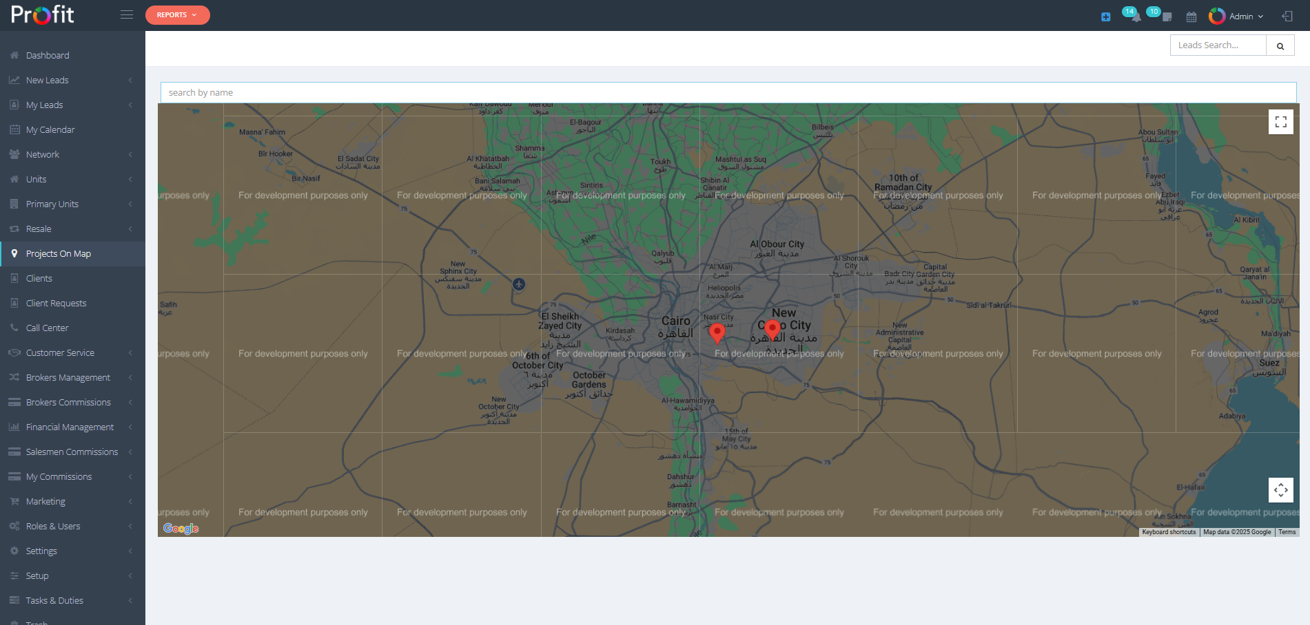
The Projects On Map section displays all your projects on an interactive geographic map interface, providing a visual representation of project locations that enhances both sales team understanding and client presentations. This powerful mapping tool transforms project location data into professional visual presentations that facilitate better decision-making and more effective client engagement.
Visual Project Location Display: This section shows all your projects plotted on an interactive map, exactly as you configured them during the project creation process. When you added location information during project setup, this mapping system utilizes that geographic data to display each project at its precise location on the map.
قسم المشاريع على الخريطة يعرض جميع مشاريعك على واجهة خريطة جغرافية تفاعلية، مما يوفر تمثيلاً بصريًا لمواقع المشاريع يعزز فهم فريق المبيعات والعروض التقديمية للعملاء. تحول هذه الأداة القوية بيانات مواقع المشاريع إلى عروض بصرية احترافية تسهل اتخاذ قرارات أفضل ومشاركة أكثر فعالية مع العملاء.
عرض مواقع المشاريع البصري: يُظهر هذا القسم جميع مشاريعك مرسومة على خريطة تفاعلية، تمامًا كما قمت بتكوينها أثناء عملية إنشاء المشروع. عندما أضفت معلومات الموقع أثناء إعداد المشروع، يستخدم نظام الخرائط هذا تلك البيانات الجغرافية لعرض كل مشروع في موقعه الدقيق على الخريطة.